As part of the update to the Cycling Action Plan for Scotland, all Local Authorities are supposed to produce a cycling strategy. We’ve no idea what Dumfries and Galloway Council will come up with – but here’s what we’d like to see for Dumfries at least

The map shows Dumfries as it is now. The green shows the roads and paths that are safe and pleasant for anyone to cycle on. Yellow marks roads which take some confidence and experience to navigate safely, orange marks roads which require more confidence and skill and which can be unpleasant, while red roads are those which only the most fearless and experienced cyclists feel comfortable cycling on. Although there is a lot of green, it is not well connected, and it is almost impossible to avoid the yellow and orange roads for most journeys. We believe this forms a barrier for greater cycling take up in the town – and also encourages widespread riding on the pavements.
The changes we’d like to see are (numbers relate to numbers on the map – and follow the links for more detail)
- Complete the cycle path connecting Dumfries High and the Caledonian Cycleway as a matter of urgency
- Make all the one-way streets in the current 20mph zone (and the streets immediately across the river) two-way to bicycles, with the exception of Loreburne and Irish Streets
- Re-time the traffic lights to reduce waiting times and increase crossing times for pedestrians and bikes, and change crossings so that people can cross in one go rather than having to wait for two cycles of the lights (e.g. at Cuckoo Bridge retail, Lochside roundabout toucans, crossing into Dock Park)
- Extend the 20mph speed limit to all residential streets within the town centre
- Provide a safe crossing from the station to Newall Terrace and signpost the route to the town centre and to DG1 from Newall Terrace.
- Create a safe separated two-way track along the Annan Road, extending all the way along the A75 to Collin (shared with pedestrians beyond the bypass)
- Close the Lockerbie Road to through traffic, except buses.
- Reduce through traffic on the Moffat Road.
- Improve conditions for cycling along Craigs Road and Georgetown Road either through 20mph limits or cycle tracks or lanes
- Create a two-way cycle track up the east side of Brooms Road from St. Michael’s Bridge to at least St. Michael’s Street.
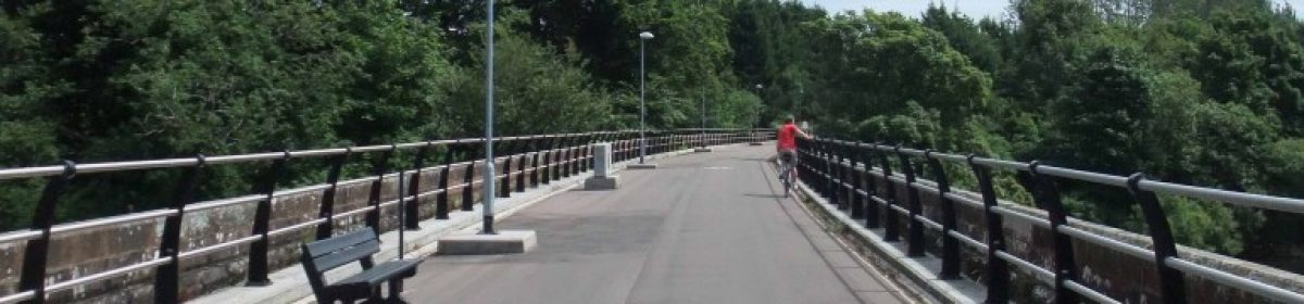
- Open the viaduct from the Maxwelltown Cyclepath to the new hospital site.
- Take advantage of the departure of the hospital, and the resulting reduction in traffic, to make it easier to cross Nith Bank from Pumpfield Lane coming out of Dock Park, towards St. Joseph’s School.
- Remove the on-street parking from Bankend Road from the hospital site into town, and use the space to provide a separated cycle track down to Nithbank.
- Upgrade the shared-use pavement along Hardthorn road to a cycle track on one side of the road, and make it continuous from the Maxwelltown path entrance to Kindar Drive, providing a safe route to Maxwelltown High.
- Upgrade the shared-use path along the Dalbeattie Road / Park Road to a cycle track and provide a safe crossing onto the path at either end.
- Replace the current on-road section of NCN 7 to Glencaple with an off-road riverside path.
- Provide cycle tracks alongside the New Abbey Road and extend the cycle track up the A76.
- Provide a direct, cycle friendly route to Lockerbie.
Any more suggestions?

One thought on “Strategising”