On Saturday a couple of us took a ride out to Cargenbridge to have a look at where the proposed new routes to the hospital will be going. The plans are here (click for the full size version)

As you can see, the plan is for bikes to go down the Dalbeattie Road, and then dogleg along Hermitage Drive, before crossing where Park Road crosses the New Abbey Road now. There does seem to be an indication of an alternative route up Maxwell Street, which doesn’t quite take into account the fact that Maxwell Street goes vertically up the side of a hill – as cyclists, we’re all for a direct route, but deviating around the worst gradients is generally recommended.
There are some good features. Continuing the shared use pavement from Cargenbridge to the junction between Park Road and Dalbeattie Road avoids a nasty crossing at the moment

On the whole, we’re not fans of shared use pavements, but there is little foot traffic on this stretch of the road, so it’s probably acceptable.
Plans to improve the crossing of the New Abbey Road are also an improvement. At the moment this is such a tricky crossing, we have stopped taking family groups on it.

However, we don’t think that on-road cycle lanes along the rest of the Dalbeattie Road will add anything at all to the cycling experience:

Either they will be parked on, in which case they will be pointless, or they will need to remove the parking altogether, in which case there would be room to put in a proper separated cycle track. However it’s possible there could be room here for Dumfries’s first parking-protected cycle lane, if they got rid of the centre line.
We still feel that the best bet would be to continue the current Park Road off-road path to the junction with New Abbey Road. There are fewer pedestrians to contend with and less demand for parking, plus it’s more direct for cyclists who intend to go along Rotchell Road and then down to Suspension Brae, or indeed on to Troqueer.

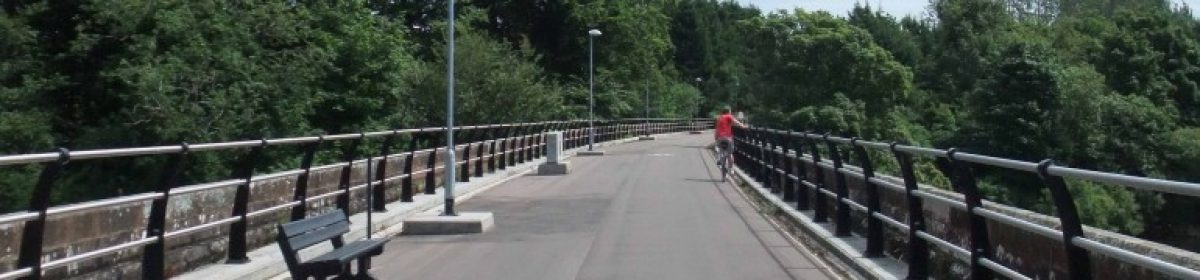
We would also suggest extending the Park Road path in the other direction, all the way down past the roundabout and Garroch Loaning. This would then enable cyclists to avoid crossing the Garroch Loaning altogether, if the current pavement on the far side of the road was extended all the way up to the viaduct

If that’s all too difficult with land ownership, then we’d suggest closing one end of the Dalbeattie Road off altogether, reducing through traffic, so there would be no need for separate lanes.
If you want to put these or any other points to the council, don’t forget tomorrow’s consultation – pop in to Troqueer Primary School from 2 to 7:30 to have your say.

3 thoughts on “Hospital routes – a site visit”